
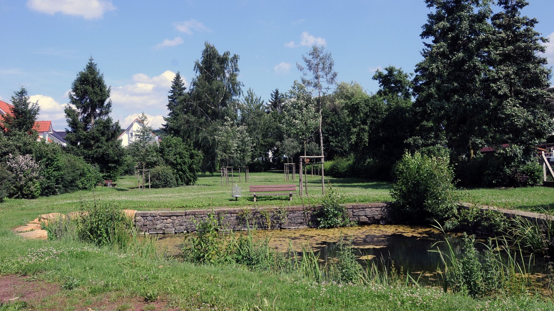
Florstadt, Park and Pond in Leidhecken
© Robert Nolte
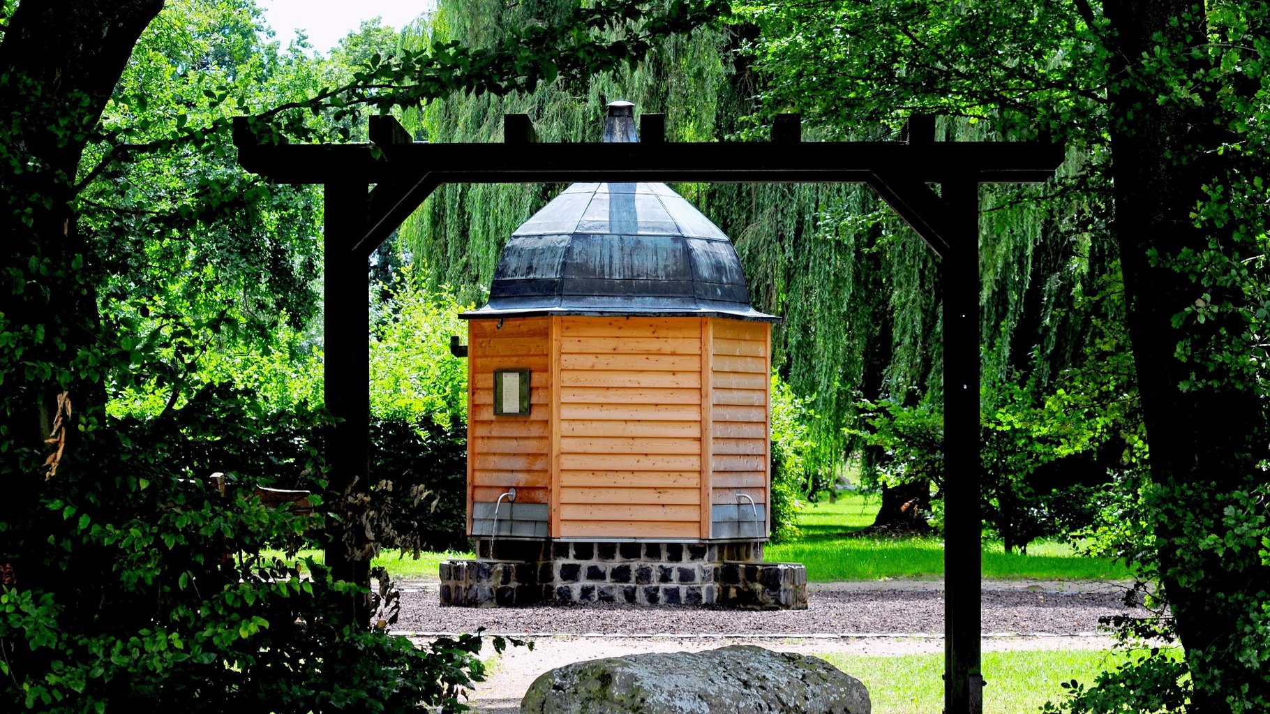
Florstadt, Sauerbrunnen in Staden
© Robert Nolte
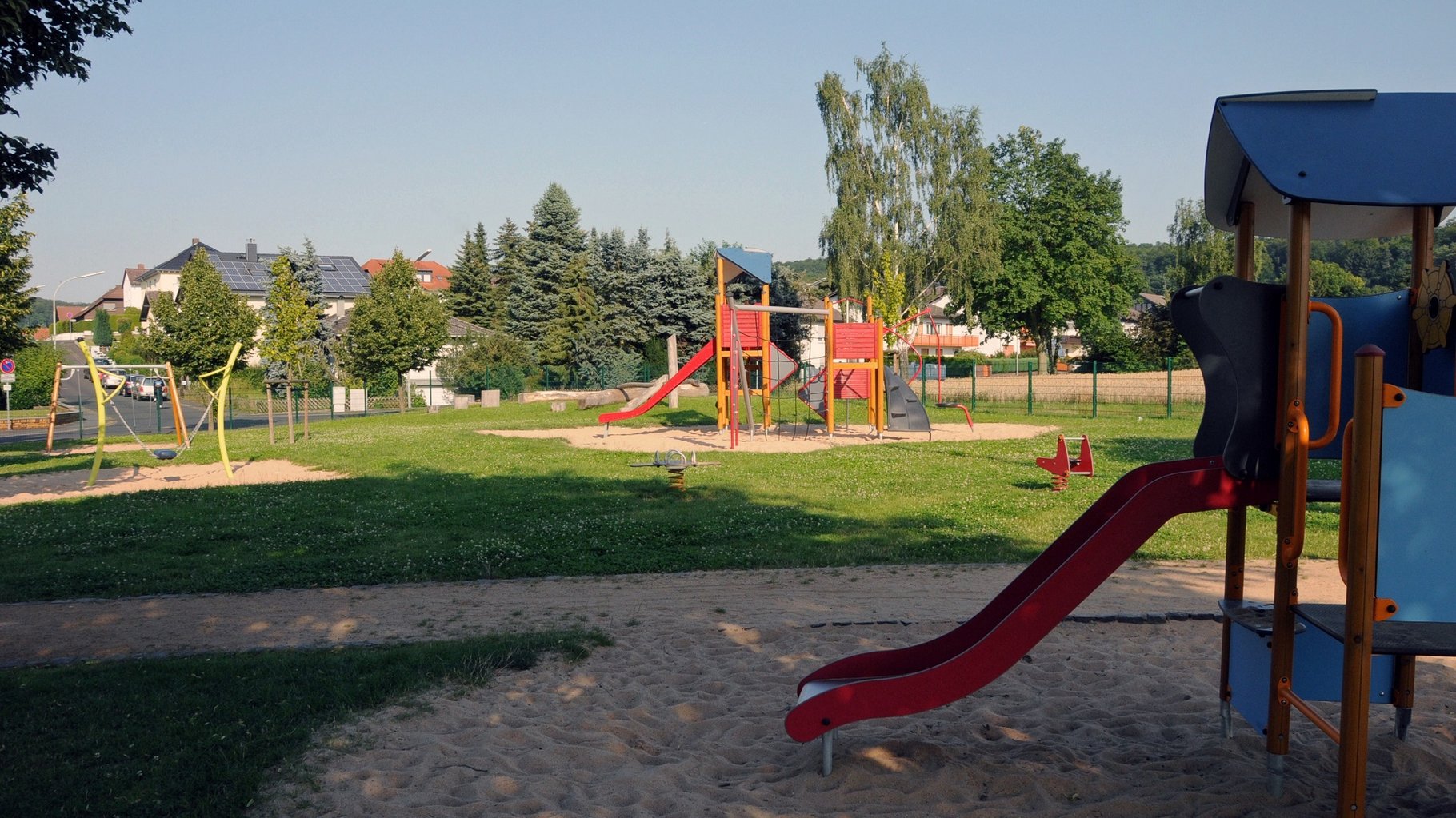
Playground in Nieder-Mockstadt
The town of Florstadt lies in the middle of the green landscape of the Wetterau, on the river Nidda between Vogelsberg and Taunus. The R4 Cycle Way and the Limes-Radweg (Limes Cycle Route) invite you to go for a ride, a hike, or just a stroll.
The history of the town: around 750AD Florstadt was an important Frankish Royal court led by Count Cancor. It was made a town in 1365 by Emperor Karl IV. The Roman Limes was a border between east and west. The longest stretch of the Upper German Limes runs through Florstadt.
Nieder-Florstadt: Löw’sches castle, Mönchhof, former fiscal manor, old village centre with market place and half-timbered houses (16/17th. Century), arts centre.
Oberflorstadt: old village centre with half-timbered houses, reconstructed gate of the Laurentius chapel (13th century) using the old linear measure, the “Ober-Florstädter Elle”, Roman cohort fort with bath house complex (200 AD).
Staden: called "Little Venice", Löw’sches castle, Castle Hotel Ysenburg (16th century), historic village centre with bridge, historic park area, mineral spring and medieval town fortifications with turrets.
Stammheim: castle (16th Century) with castle pond and wedding room.
Nieder-Mockstadt: old town centre with half-timbered houses and vaulted cellars.
The fort of Ober-Florstadt (2.8 hectares) with its wide vicus lay approximately 2.5 km from the Limes. The Cohors XXXII voluntariorum civium Romaorum was stationed there. The fort was used until 260AD. Aerial photography shows that the vicus was protected by a ditch. In 1984 a hoard of 1136 denarii was found, one of the most extensive finds of its type. This treasure and other finds are on display in the exhibition in the Wetteraumuseum in Friedberg.
Staden: The small fort of above-average size (0.4 hectares) in that area is no longer visible.
Stammheim: In Stammheimer woods, on top of the Winterberg hill, was located the highest watchtower (WP 4/96). The Limes with its ditch and rampart is still visible in this area. The small border fort and watchtower (WP 4/95) which lay within sight, to the east of Stammheim, is no longer visible.
Gemeindeverwaltung
Rathaus
Freiherr-vom-Stein-Str. 1
61197 Florstadt
Tel. 0 60 35 / 96 99-0
Fax 0 60 35 / 50 54
gemeinde@florstadt.de
www.florstadt.de
Mockstädter Straße 2
61197 Florstadt-Staden
Tel.: 06035/7303
Mockstädter Straße 7
61197 Florstadt-Staden
Tel.: 06035/8411
info@haus-silke.com
www.haus-silke.com
Parkstraße 20
61197 Florstadt-Staden
Tel.: 06035/96760
info@schloss-ysenburg.de
www.schloss-ysenburg.de
Parkstraße 20
61197 Florstadt-Staden
Tel.: 06035 9676-0
info@schloss-ysenburg.de
Waldhof
61197 Florstadt-Stammheim
Tel.: 06035 6748