


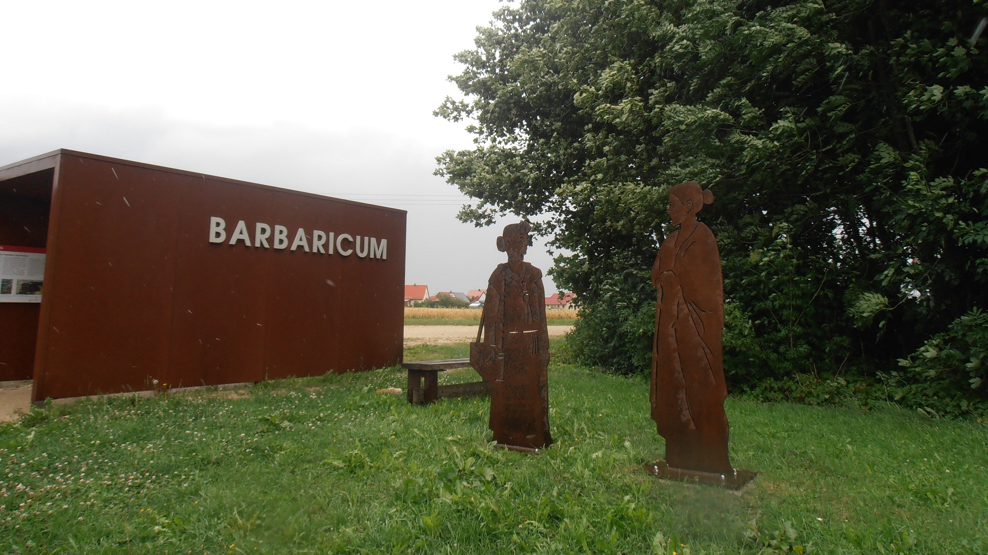
Barbaricum
© Bezirk Mittelfranken, Andrea May
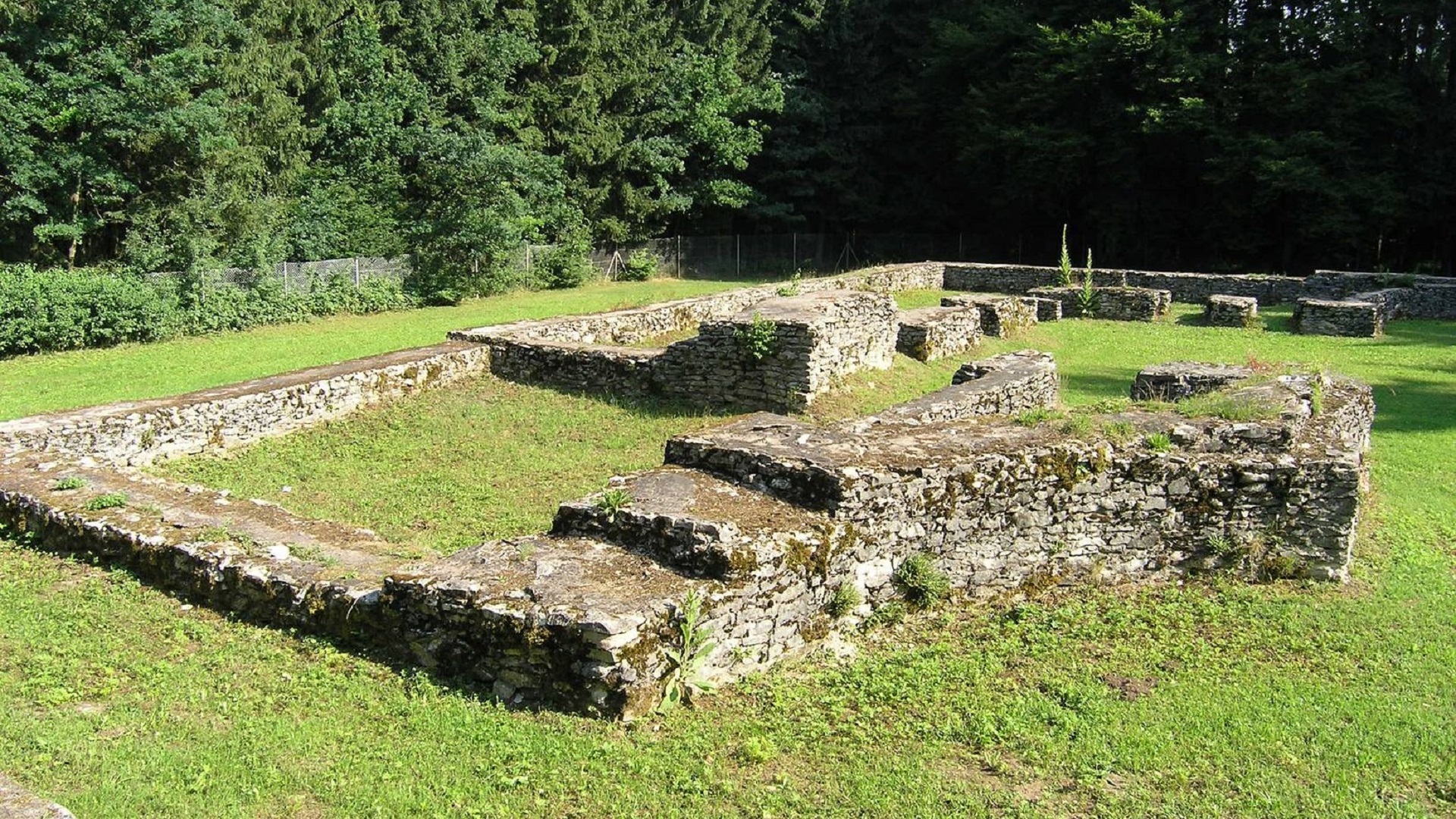
Burgsalach
© Verein Deutsche Limes-Straße
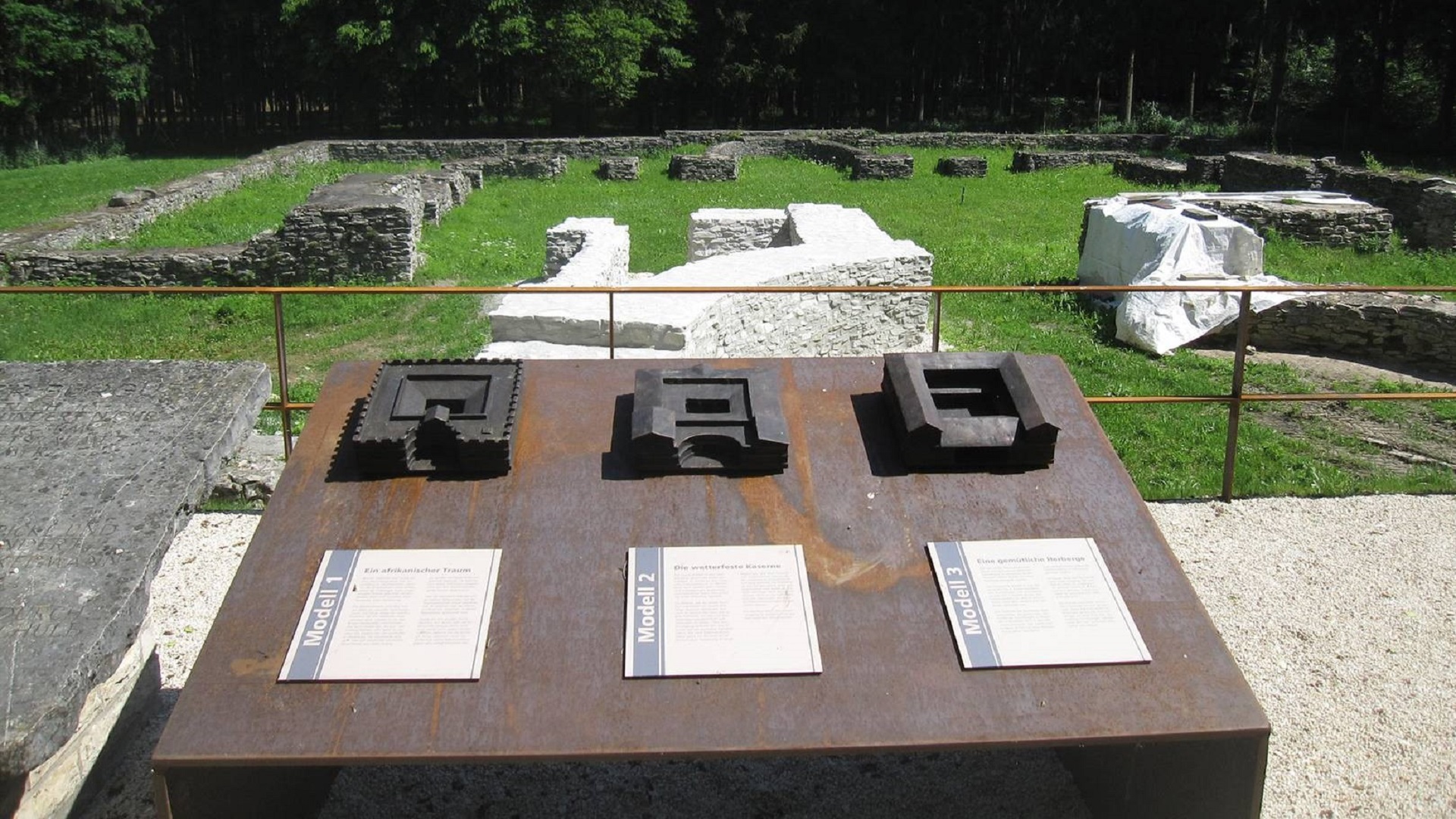
Burgsalach
© Verein Deutsche Limes-Straße
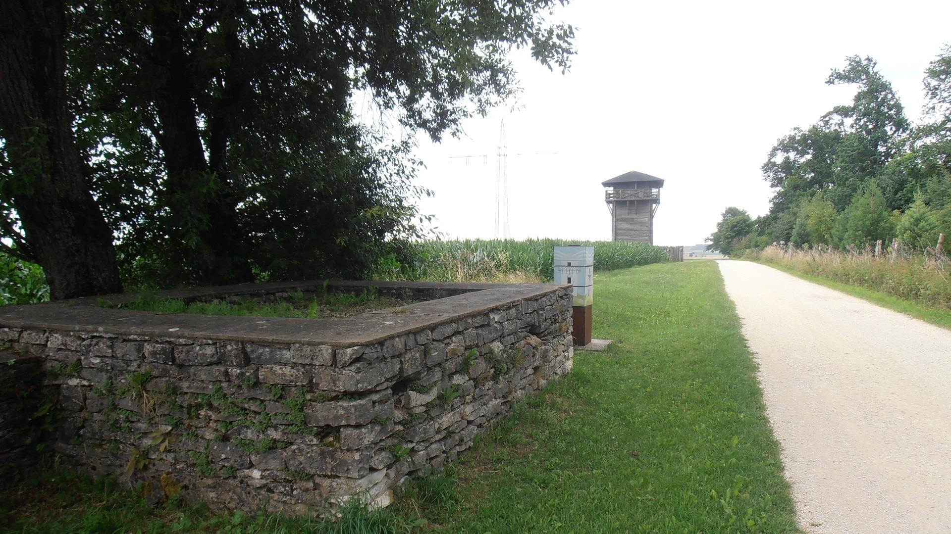
Tower Foundations and Reconstructed Watchtower
© BezirkMittelfranken, Andrea May
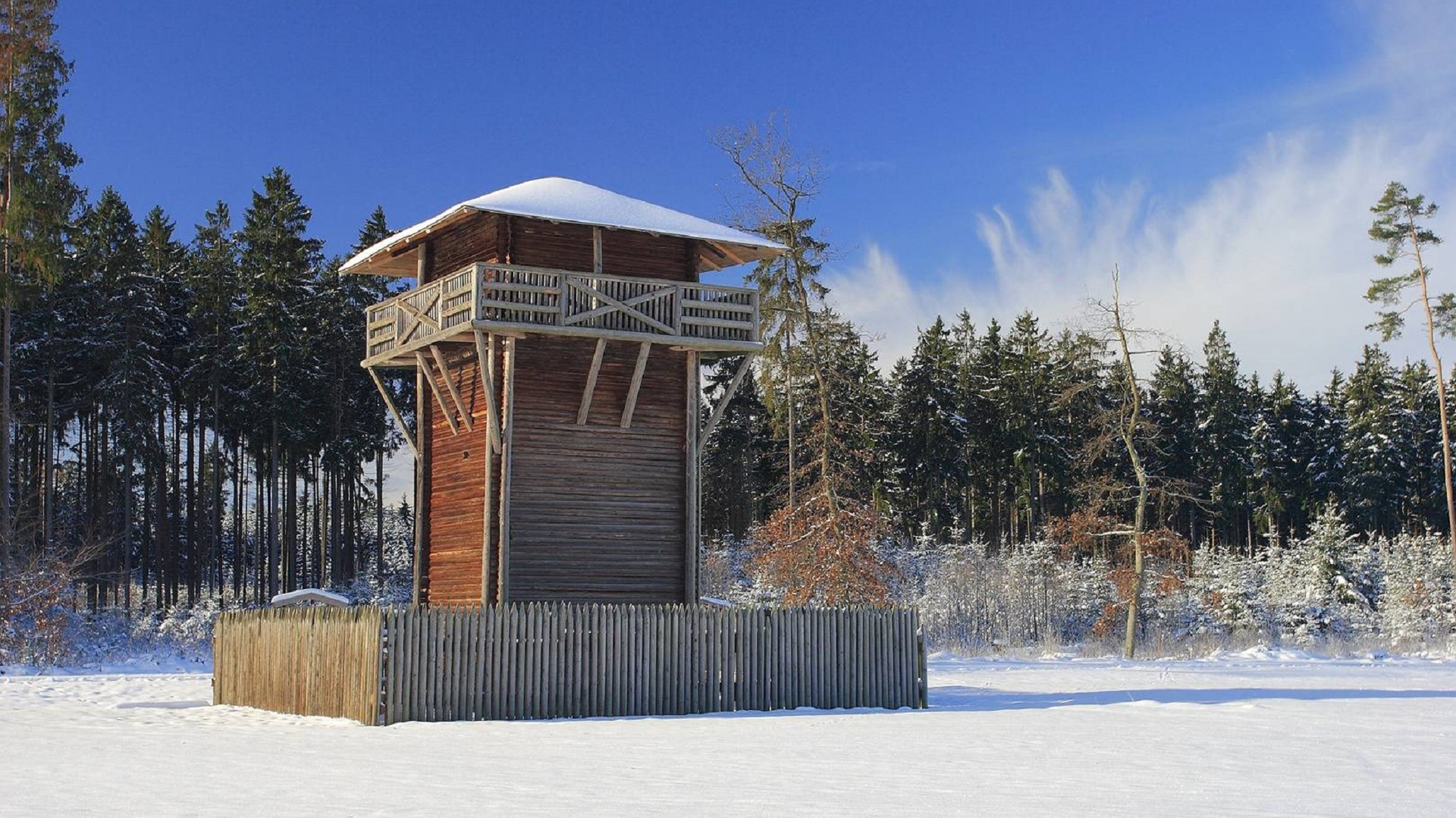
Burgsalach, Reconstruction WP14.48
© Verein Deutsche Limes-Straße, Fotografie Michael Schneidt
First documented mention in 1070 on the occasion of the Episcopal church consecration. The municipality is located on the high plateau of the southern Franconian Alb, near the romantic Anlautertal (valley) and directly on the Limes.
Historically significant and controversial because of, amongst other things, its nearby iron ore deposits.
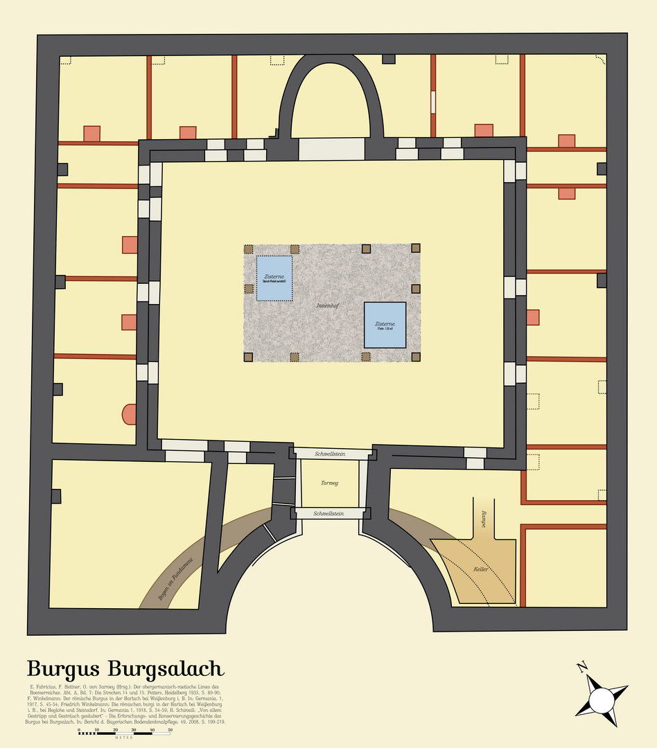
One of the most extraordinary sights along the entire Upper German-Raetian Limes is located not far from Burgsalach in the Middle Franconian district of Weißenburg-Gunzenhausen. Slightly south of the present-day town, a Roman building complex—unparalleled in Europe and often referred to as a burgus—was excavated during World War I under the direction of F. Winkelmann.
Located along an important connecting road between the Biriciana fort in present-day Weißenburg and Castra Vetoniana (present-day Pfünz), approximately 1.5 km from the Limes, a square, two-story complex covering about 0.10 ha with sides measuring 32.6 m and an inner courtyard was constructed; it is characterized above all by its semicircular, recessed entrance.
It is difficult to date the site precisely, as there are no finds that would allow us to determine a more specific date of construction. We can only speculate about the specific function of the structure as well. Based on its size, it can be assumed that the so-called burgus housed a garrison of about 100 men (a centuria). Since the architectural form of such centuria is known from North Africa, the theory has been proposed that the unit stationed here may have been a vexillation (subunit) of Legio III Augusta from Lambaesis in present-day Algeria, which was disbanded by Gordian III after the Year of the Six Emperors in 238 CE because it had actively participated in suppressing the rebellion of his father and grandfather against Emperor Maximinus Thrax. However, since there are no reliable sources on this matter, this must remain speculation, just as does the interpretation of the building as an elaborately designed rest stop for the imperial postal service (cursus publicus) or a beneficiarius station. Evidence of fire debris and charred wood remains suggests that the site was abandoned following destruction by fire.
In 1978, a small fort covering approximately 1 hectare was also discovered on the site; it had the typical playing-card shape of Roman forts and is believed to have preceded the construction of the “burgus.” Results of geophysical surveys indicated that this was likely a temporary field camp, into whose northwest corner a smaller, later-built camp—measuring just 50 x 50 m—was incorporated.

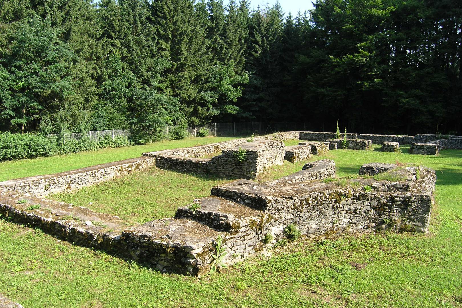
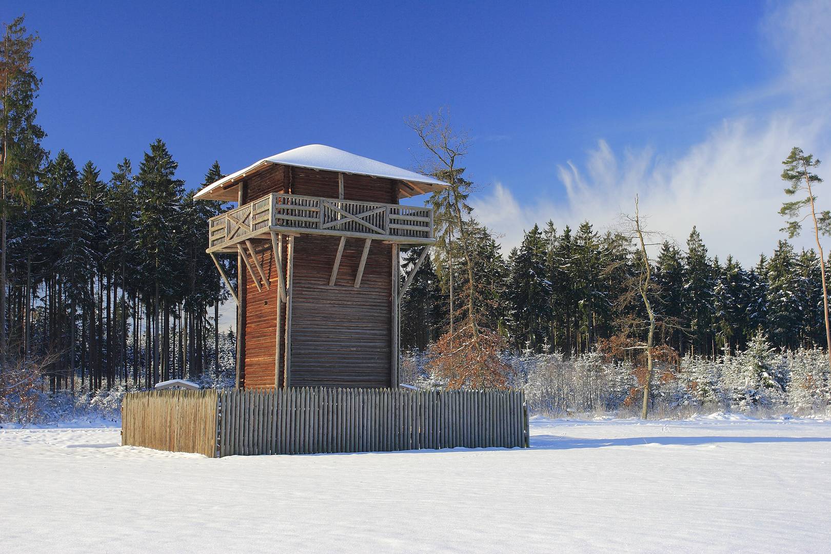
Roman experience trail with play stations for children and young people as well as panels and models which provide information about the Limes the Roman road and the burgus. On the trail is a conserved foundation of WP 14/48 and a replica of a wooden Limes tower.
Raetian wall is clearly visible again as debris rampart from south of Burgsalach to WP 14/56 (Limes bend at Petersbuch).
St. Egid: remains of WP 14/54 visible; St. Egid WP 14/55: floor layout conserved (site notice 6, St. Egid). Petersbuch, Limes section as far as Hirnstetten and Pfahldorf; debris rampart banked with stones gathered from the surroundings, covered with hedges and perceivable over a long distance as a dominating landmark on the Alb plateau.
Gemeinde Burgsalach
Tel. +49 (0) 91 47/94 11-25
and
Verwaltungsgemeinschaft Nennslingen
Schmiedgasse 1
91790 Nennslingen
Tel. +49 (0) 91 47 / 94 11 25
Fax +49 (0) 91 47 / 94 11 30