
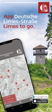
The app offers you the opportunity to explore the Limes in Germany. Whether by car, bike or on foot - with the app you always have the right map with you. The maps are available for download and can therefore also be used offline.
Furthermore, in the app you will find all the necessary information on our member locations such as museums, tourist information and supra-regional information points as well as camper van sites and e-bike charging stations. In addition, information on the relics of the Roman era is also fed into the app. This also gives you the necessary input at guard posts, forts and wall remains that are no longer visible and thus makes travelling along the Limes even more interesting.
For Android:
https://play.google.com/store/apps/details?id=com.limesstrasse.android2
For iOS: https://apps.apple.com/app/id1495535250
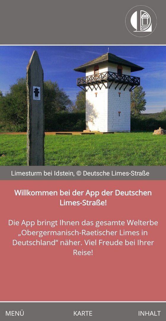
Below you will find instructions on how to get started with the app as well as answers to frequently asked questions.


From the start screen, go to the "Map" item. Depending on your destination and the way you are travelling, different maps are available: The map material is divided into six sections (Rhineland-Palatinate, Hesse, Bavaria-Main Limes, Baden-Wuerttemberg, Bavaria-Raetian Limes and Bavaria-Danube Limes). Three different maps are available for each section - for the Limes Road, the Limes Cycle Route and the Limes Hiking Trail.
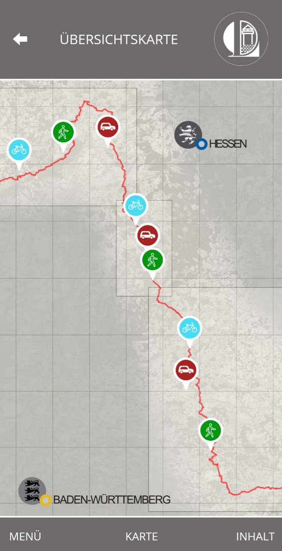
On the overview map you can now select and compile the appropriate maps: Choose between the Limes Road, the Limes Cycle Route and the Limes Hiking Trail in the desired federal state and section. After downloading, you can use the map(s) at any time even without an internet connection.
ATTENTION: Some of the maps are several hundred MB in size. In order not to strain your data volume, it is best to download the maps while you are connected to the WLAN.
All maps include
Depending on the mode of transport, additional information is available, e.g. on e-bike charging stations, camper van sites and further cycling and hiking tips.
Alternatively, you can also select and download the map packages by going to the "Load and delete packages" item via the "Contents" button. Here you will also get an overview of which packages you have already downloaded and can delete packages you no longer need.
ATTENTION: Some of the maps are several hundred MB in size. In order not to strain your data volume, it is best to download the maps while you are connected to the WLAN.
When opening the app, you will be asked to activate your location services. This is currently unavoidable for the app to function. However, you have the option to allow this access only for the period in which you use the app.
To do this, proceed as follows:
When you first open the app, a window appears with the question "Allow LIMES to retrieve the device location?". To this question, select the answer option "Access only while using the app".
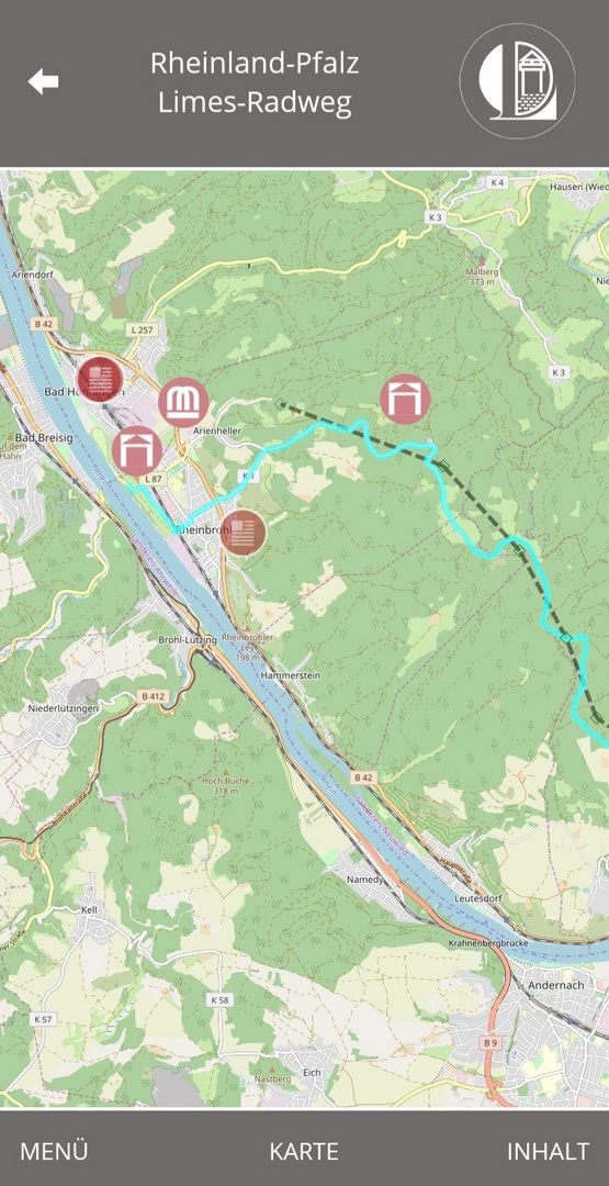
Symbol 1 (text field): Information on the member towns of the German Limes Road, on their sights and Roman monuments.
Symbol 2 (bicycle with power cable): Address of an e-bike charging station near the German Limes Cycle Route.
Symbol 3 (camper van): Address of a camper van site.
Symbol 4 (info sign): additional tour tips, depending on the map to cycle or hiking trails.
Symbol 5 (square without filling): fort location, fort no longer visible.
Symbol 6 (square with filling): fort location, fort visible/reconstructed.
Symbol 7 (waves): Roman baths.
Symbol 8 (stylised "M"): Roman museum or museum with Roman section.
Symbol 9 (tower): Site of a Roman watchtower, tower visible/reconstructed.


All maps contain information on the member sites of the German Limes Road Association, on the archaeological features on site (forts, watchtowers and the Limes itself) as well as on selected Roman museums or museums with Roman sections. The maps of the Limes Road (with the car icon) also contain information on local caravan sites. The maps of the Limes Cycle Route list the e-bike charging stations in the member towns. In the future, the maps of the Limes Hiking Trail will provide tips on further Roman hiking tours along the Limes.


Yes. To do this, click on the "Menu" button and then on the sub-item "Contents". Now select the map package in which you want to search. Here you can select the desired item in the alphabetically ordered list or find it using the search function. To do this, click in the "Search" field. Important: For this function you must have downloaded the map package beforehand!