
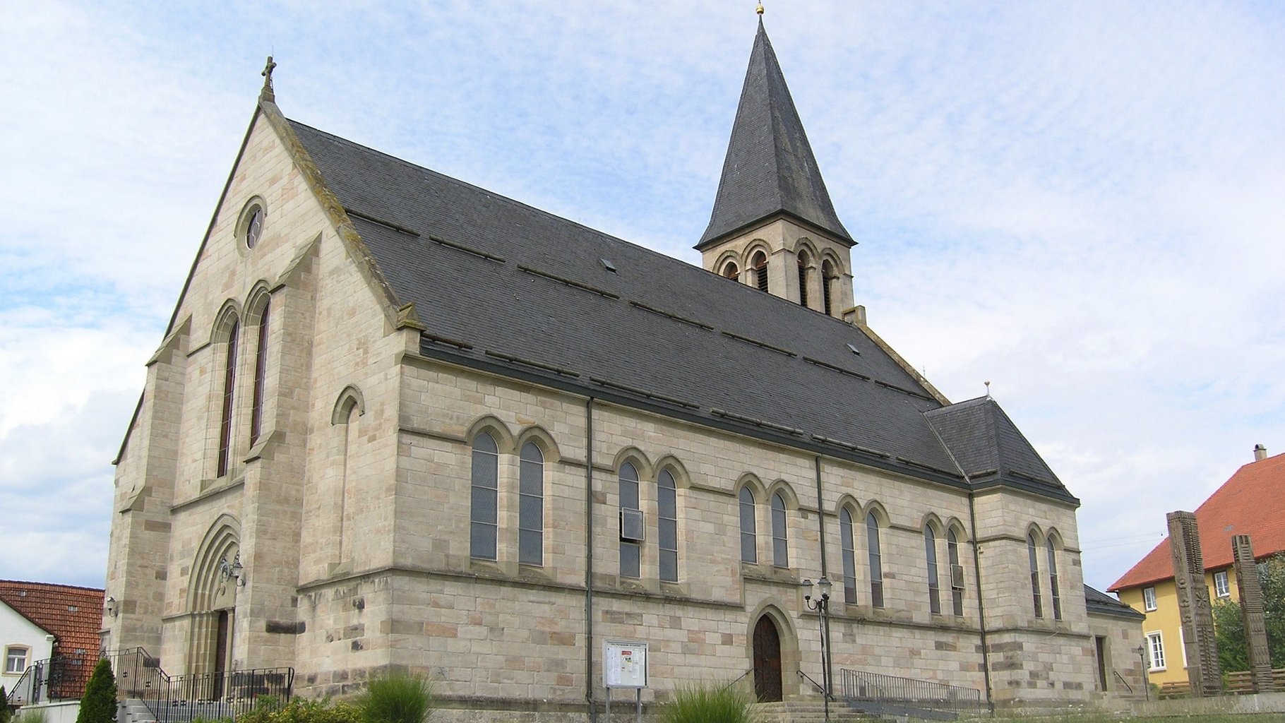
Stödtlen Leonhards Church
© Verein Deutsche Limes-Straße
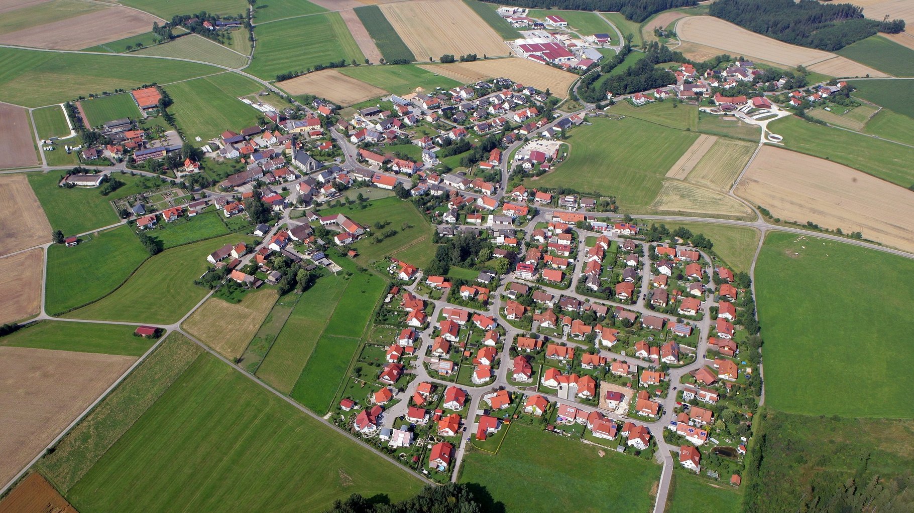
Stödtlen Aerial View
© Verein Deutsche Limes-Straße
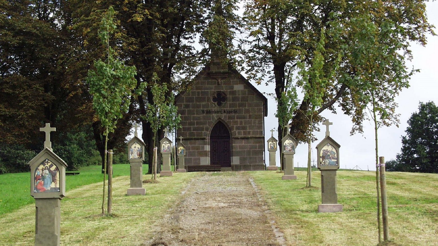
Stödtlen Wildenberg Chapel
© Verein Deutsche Limes-Straße
Stödtlen is located at the foothills of the Albvorland and consists of 25 districts. Its first documentary reference dates from 1024. The traditional St. Leonhardsfest takes place every August.
Pfauengarten animal and bird park, “Green Path” cycle route, landscape with many lakes and a large population of beavers, St. Leonhard’s Church and chapel on the Wildenberg. Between the Halheim fort and the reconstructed Limes gate Mönchsroth, the Limes descends over the Liastrauf into the Middle Franconian plain. Clearly visible course of the Limes in the area of the Freihof wind farm, also to the east of Dambach.
Approaching from the north on the K3215 road, following the Limes for 350 metres (Watchtower 12/105) the Limes can be seen very clearly. 0.6 metre high and up to 4 metre wide ruins are visible.
Bürgermeisteramt
Rathausstraße 11
73495 Stödtlen
Tel. +49 (0) 79 64 / 90 09-0
Fax +49 (0) 79 64 / 90 09-15
Gartenstraße 11
73495 Stödtlen
Tel.: 07964 / 330 93 23
info@naturhotel-reeb.de
http://www.naturhotel-reeb.de/